


Explore Barbados with Our Detailed Maps on Google
Discover Barbados through our comprehensive Google Maps. Zoom in to identify critical spots, from bustling shopping districts and serene beaches to sacred churches and main thoroughfares.
Barbados Google Maps
Maps Featuring Various Locations in Barbados:
- Attractions
- Attraction Map and Locations
- Accommodation and Lodging Maps
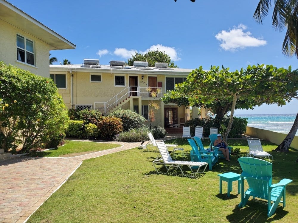
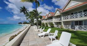
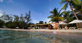
- Beach Map and Locations
- Financial Services Map and Locations
- Medical Facilities Maps and Locations
- Places of Interest Map and Locations
- Real Estate Map and Locations
- Restaurants Map and Locations
- Shopping Areas Map and Locations
- Sports Facilities Map and Locations
- Transportation Hubs Map and Locations
- Wedding Venues Map and Locations
Barbados bears a striking resemblance to a smaller, inverted version of Africa. The South and West coasts feature gentle, flat landscapes along the tranquil Caribbean Sea with powdery white beaches. In contrast, the East and North shores present a more dramatic scene with rugged cliffs and undulating hills facing the vigorous Atlantic Ocean.
The island’s central elevation point is Mount Hillaby, akin to the summit of a hilly range rather than a mountainous one, extending northward from Mount Hillaby through Farley Hill National Park towards North Point.
The journey from Crane Beach Hotel and the Airport through Oistins, Bridgetown, and onwards past Holetown and Speightstown reveals flatter landscapes, favoring residential and commercial development. Our urban centers and harbors, benefiting from the sheltered bays and calm waters, are situated along this route.
Barbados, as a whole, exudes a gentle topography. The island’s geographical character mirrors its laid-back, tranquil ambiance, from its coral stone heart to its rolling hills and winding coastline.
Additionally, you can explore our custom-created Barbados map on Google Maps for a more interactive experience.
You can also view the Barbados map we created on Google Maps.